Metro pillars to get unique numbers
Mon 18 Sep 2017, 13:06:49
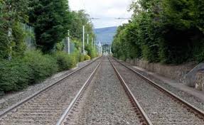
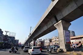
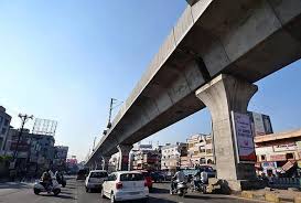
Pillars for the Metro Rail in the city will soon have unique numbers and will be geotagged if the Hyderabad Metro Rail Limited (HMRL) authorities implement their plan to make the city more visitor-friendly .
“The unique numbering of metro rail pillars and the attempt to link them with Google maps and GPS (global position system) will allow visitors and tourists to easily identify different locations on Metro Rail corridors.
This will also enable them to gauge direction signages for different roads, areas and colonies nearby ,“ said NVS Reddy , the HMRL chief.
The decision to geo-tag metro rail pillars was taken during a brain-storming session held on Sunday . As per the plan, the unique numbering will be alpha-numeric with corridor I (Miyapur-LB Nagar) designated as A, corridor II (JBS-Falaknuma) designated as B, and corridor III (Nagole-Raidurg) designated as C. The numbering will start from the point of beginning (POB),
corridor wise.
corridor wise.
For instance, the pier number on corridor I will be A1 near Miyapur (which is the beginning of the corridor) and this will go on for the rest of the pillars. Since each metro station has four entry or exit poins, these will be designated as gate 1, gate 2, gate 3 and gate 4. The numbering will be clock-wise, starting from the first gate on the left side in the direction of the corridor. Also global standard sign posts with sufficiently big font in both English and Telugu will be placed at several locations and approach areas of a Metro station and maps of nearby colonies, prominent locations of the city will be displayed.
“All the facilities of a Metro station, including the location of service lanes, bus bays, auto bays, e-vehicle bays, parking locations, toilet facilities, entryexit indicators, direction boards to nearby colonies will be prominently displayed at the metro stations,“ said Reddy .
No Comments For This Post, Be first to write a Comment.
Most viewed from Hyderabad
Most viewed from World
AIMIM News
Latest Urdu News
Most Viewed
May 26, 2020
Do you think Canada-India relations will improve under New PM Mark Carney?
Latest Videos View All
Like Us
Home
About Us
Advertise With Us
All Polls
Epaper Archives
Privacy Policy
Contact Us
Download Etemaad App
© 2025 Etemaad Daily News, All Rights Reserved.





.jpg)
.jpg)
.jpg)
