Rains to Cease, Scattered Spells to be the Norm in Telangana
Thu 27 Jul 2023, 10:33:59
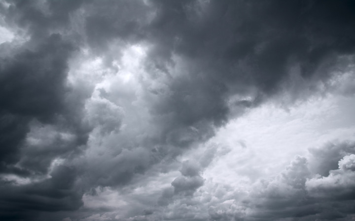
Intense rainfall that has been pounding the state for the past three days, which has taken a toll on the entire geographical area of Telangana, will subside over the next two days, with scattered and less intense rains predicted for the rest of July.
Multiple weather systems were active in the state for a week influencing incessant rains in the state, according to the India Meteorological Department (IMD).
An IMD official told that "The well-marked low-pressure area lies over west-central and adjoining northwest Bay of Bengal off north Andhra Pradesh-south Odisha coasts and associated cyclonic circulation is extending up to 7.6 km above mean sea level.
Another upper end cyclonic circulation has moved over from Madhya Pradesh
over to Rajasthan as well as the east-west wind shear zone is along latitude 20 degree north between 3.1 km and 7.6 km above mean sea level tilting southwards. Under these synoptic conditions, Telangana is likely to have light to moderate rains over most places and heavy rains over few places and extreme rains in one or two places."
over to Rajasthan as well as the east-west wind shear zone is along latitude 20 degree north between 3.1 km and 7.6 km above mean sea level tilting southwards. Under these synoptic conditions, Telangana is likely to have light to moderate rains over most places and heavy rains over few places and extreme rains in one or two places."
Mahesh Palawat, the vice president of meteorology and climate change for Skymet Weather, said that the current weather system of the low-pressure area would gradually degenerate into a cyclonic circulation in the next two to three days and is expected to move in the northwest direction, away from Telangana and towards north-interior Karnataka due to which the rain severity in the state will lessen.
No Comments For This Post, Be first to write a Comment.
Most viewed from Hyderabad
Most viewed from World
AIMIM News
Asaduddin Owaisi questions PM Modi's China policy
Jan 08, 2025
Owaisi slams UP over police post near Sambhal mosque
Dec 31, 2024
Owaisi hails SC order on Places of Worship Act
Dec 13, 2024
AAP Corporator Tahir Hussain joins AIMIM party
Dec 11, 2024
Latest Urdu News
Most Viewed
May 26, 2020
Which political party will win the Delhi Assembly polls to be held on Feb 5?
Latest Videos View All
Like Us
Home
About Us
Advertise With Us
All Polls
Epaper Archives
Privacy Policy
Contact Us
Download Etemaad App
© 2025 Etemaad Daily News, All Rights Reserved.





.jpg)
