IMD forecast more rain in north India till tomorrow
Mon 04 Jan 2021, 10:12:23

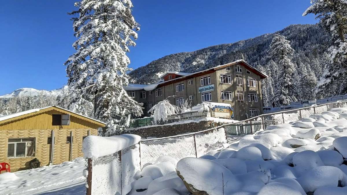
India Meteorological Department has said that north India is likely to witness an intense wet spell till tomorrow, with a fairly widespread precipitation accompanied with thunderstorm, lightning and hailstorm at isolated places.
IMD predicted that the activities will peak today over the plains of Punjab, Haryana, Chandigarh, Delhi, west Uttar Pradesh and north Rajasthan and over the western Himalayan region, Jammu and Kashmir, Ladakh, Gilgit-Baltistan and Muzaffarabad, Himachal Pradesh and
Uttarakhand.
Uttarakhand.
Met department said, after the wet spell, fresh northerly-northwesterly winds are likely to set in over plains of northwest India causing severe cold wave conditions at isolated places over Punjab, Haryana and north Rajasthan from Thursday onwards.
An active western disturbance lies as a middle-and-upper-level cyclonic circulation over central Pakistan and neighbourhood, with its induced cyclonic circulation over southwest Rajasthan and neighbourhood at lower levels.
No Comments For This Post, Be first to write a Comment.
Most viewed from National
Most viewed from World
AIMIM News
Asaduddin Owaisi questions PM Modi's China policy
Jan 08, 2025
Owaisi slams UP over police post near Sambhal mosque
Dec 31, 2024
Owaisi hails SC order on Places of Worship Act
Dec 13, 2024
AAP Corporator Tahir Hussain joins AIMIM party
Dec 11, 2024
Latest Urdu News
Most Viewed
May 26, 2020
Do you think AAP will perform better in Delhi polls without alliance?
Latest Videos View All
Like Us
Home
About Us
Advertise With Us
All Polls
Epaper Archives
Privacy Policy
Contact Us
Download Etemaad App
© 2025 Etemaad Daily News, All Rights Reserved.


.jpg)
.jpg)
.jpg)
.jpg)
.jpg)


.jpg)
.jpg)
.jpg)
.jpg)
.jpg)
.jpg)
.jpg)
.jpg)


