IMD predicts above normal monsoon this year
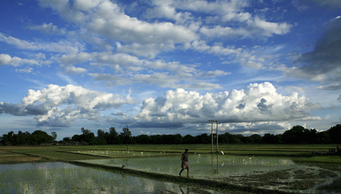
The 2016 monsoon may
turn out to be above normal with well-distributed rainfall in most parts of the
country, a private company says in its monsoon outlook.
Developed using publicly available weather data and models, the study suggests that only the north-east may end up having a deficient monsoon.
The first official monsoon forecast from Indian Meteorological Department (IMD) may be announced in the third week of April, which would be updated repeatedly later in the season.
The monsoon outlook 2016 released by Weather Risk, a private firm that provides integrated meteorological and insurance solutions to agriculture and power sector, was prepared by a retired IMD scientist, relying on a set of global weather models.
text-align: justify;">One of the factors
behind the positive monsoon outlook is weakening of the El Nino – a dreaded
weather phenomenon related to unusual warming of the Pacific Ocean that played
havoc with weather all over the world. Last year's drought was due to the El
Nino factor.
On March 28, the US’s National Oceanic and Atmospheric Administration predicted El Nino-neutral conditions were likely in the late northern hemisphere spring or early summer 2016, with close to 50% chance for La Nina conditions to develop by fall.
La Nina is a weather phenomenon, countering the ill effects of El Nino and beneficial for Indian monsoon. “The signals are favourable for above normal monsoon rainfall over the country between June and September, 2016,” said R Kanti Prasad, former deputy director of meteorology at IMD, who prepared the outlook for the private firm.
AIMIM News
Latest Urdu News
Most Viewed
Do you think Canada-India relations will improve under New PM Mark Carney?









.jpg)
.jpg)
.jpg)
.jpg)
.jpg)


