India launches eighth GPS satellite
Fri 01 Sep 2017, 15:59:34

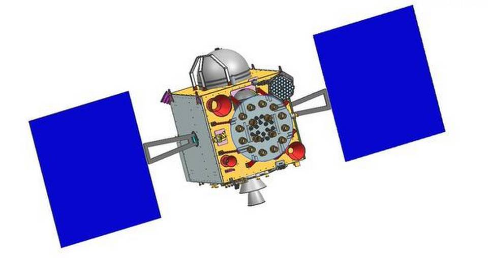
India has launched its eighth navigation satellite, taking the country a step further to developing its own global positioning system and reduce its dependency on foreign navigation networks.
The IRNSS-1H satellite lifted off from the Sriharikota Space Centre in southern India on Thursday to join a constellation of seven other satellites in the Indian Regional Navigation
Satellite System (IRNSS).
IRNSS will help navigate the country's aerial and marine routes, as well as aid disaster management and vehicle tracking up to 1,500 kilometres around the mainland.
However, India lags behind the United States' GPS, Russia's GLONASS, Europe's Galileo and China's Beidou systems that have dozens of satellites to provide information across the globe.
No Comments For This Post, Be first to write a Comment.
Most viewed from National
Most viewed from World
AIMIM News
Latest Urdu News
Most Viewed
May 26, 2020
Do you think Canada-India relations will improve under New PM Mark Carney?
Latest Videos View All
Like Us
Home
About Us
Advertise With Us
All Polls
Epaper Archives
Privacy Policy
Contact Us
Download Etemaad App
© 2025 Etemaad Daily News, All Rights Reserved.

.jpg)
.jpg)


.jpg)
.jpg)
.jpg)
.jpg)


