


India successfully launches its 100th satellite 'Cartosat-2' from Sriharikota
Fri 12 Jan 2018, 11:17:31
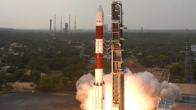
In a landmark move, India on Friday deployed a remote sensing Cartosat and 30 other satellites, including 28 from six nations into the earth's orbit after a copybook launch from its spaceport here.
According to the news agency ANI, the payload fairing has successfully separated from satellite ‘Cartosat-2’ series that was launched from Satish Dhawan Space Centre at Sriharikota. The 44.4-metre tall Polar Satellite Launch Vehicle (PSLV-C40) roared into a clear sky after a perfect lift-off at 9.29 a.m. following a 28-hour countdown.
The 320-tonne rocket would eject the satellites one-by-one and deploy them into the earth's lower orbit 17 minutes and 18 seconds after the lift-off.The spaceport is about 80 km northeast of Chennai off the Bay of Bengal coast.
Of the 31 satellites, three are Indian and the rest are from Canada, Finland, France, South Korea, UK and the US.
The Indian satellites include the 710 kg Cartosat-2 series for Earth observation as the primary satellite of the mission, along with co-passenger payloads, including 100 kg micro satellite and a 10 kg nano
satellite.
satellite.
Talking to ANI, Minister of State (MoS) for Prime Minister's Office (PMO) Jitendra Singh said, “It is a historic day for us and a great headway for India."
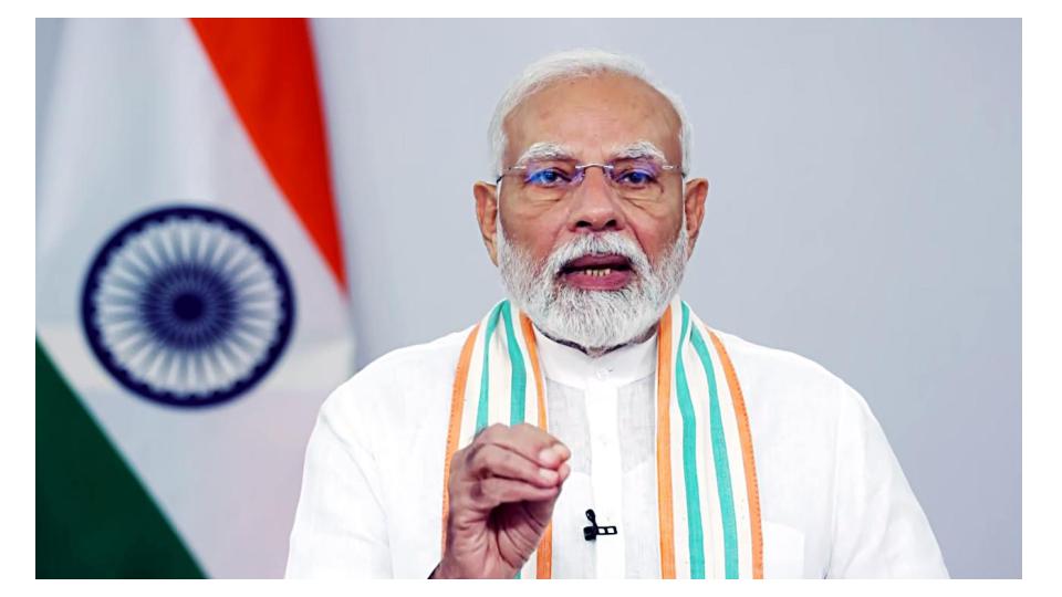
"Prime Minister Narendra Modi has arranged a brainstorming session between space scientists and officials from different government departments so that they could understand the diverse applications of space technology in transforming India,” he added.
The ‘Cartosat-2 Series’ satellite and 29 others will be inserted into a 505-kilometre sun-synchronous orbit after about seventeen and a half minutes since its liftoff.
Later, the payload Microsat developed by the ISRO will be taken down to a lower orbit at 359-kilometre height and launched using the ‘multiple engine switch-on’ method.
This satellite is the seventh remote sensing satellite in its series and has the mission life of five years.Its uses include monitoring urban and rural applications, coastal land use regulation, managing services like road networks and water distribution, detecting changes in geographical features and creation of land use maps.
No Comments For This Post, Be first to write a Comment.
Most viewed from National
.jpg)
.jpg)


Most viewed from World
.jpg)
.jpg)
.jpg)
.jpg)
.jpg)
.jpg)
.jpg)
.jpg)
.jpg)
.jpg)


Todays Epaper
English Weekly


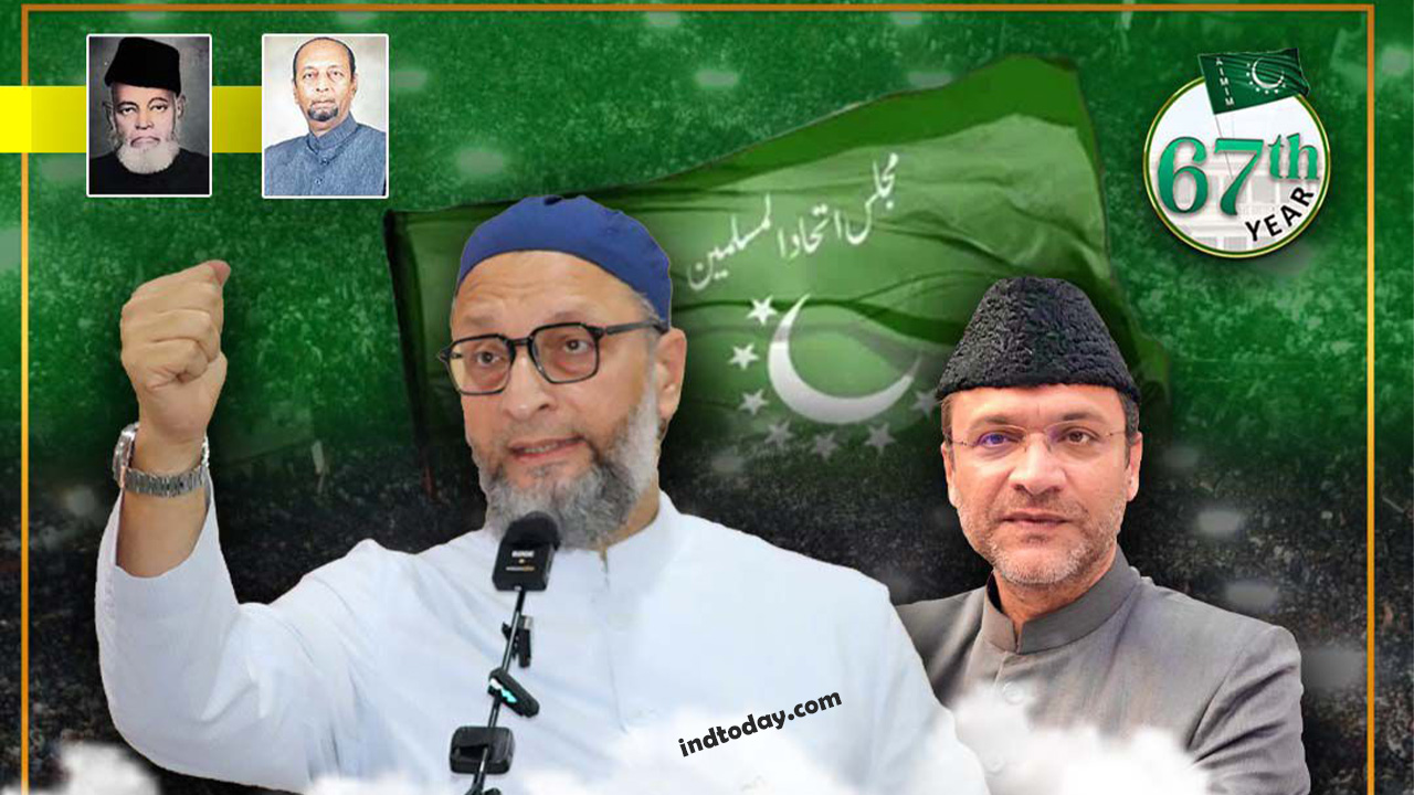
AIMIM News

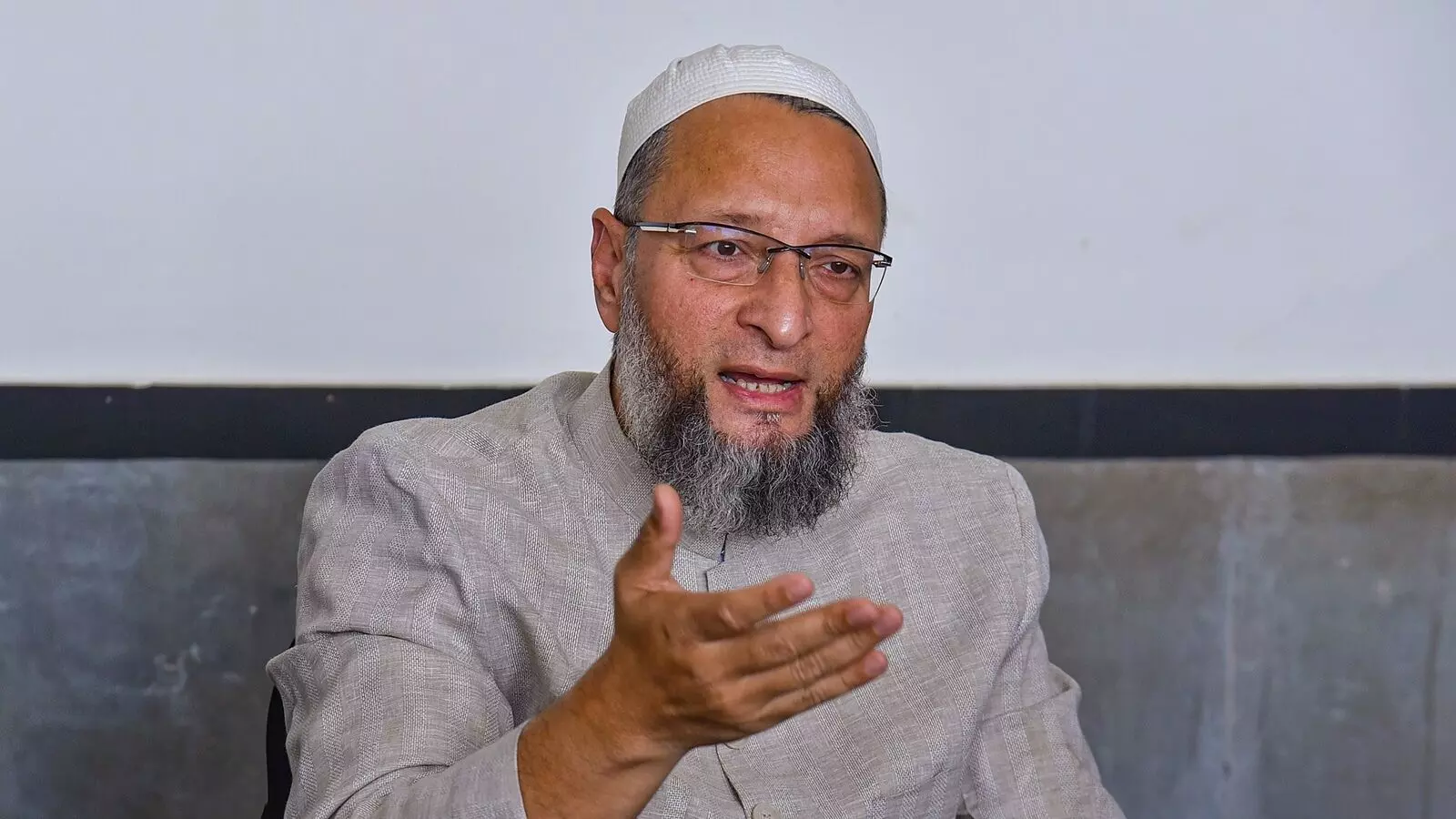

Delhi Assembly polls: Owaisi leads Padyatra in Okhla
Feb 01, 2025
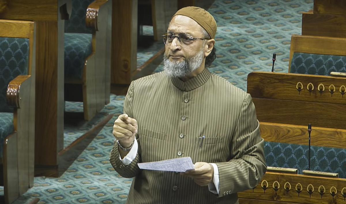
We reject this Waqf Amendment Bill: Asaduddin Owaisi
Jan 30, 2025

Latest Urdu News
Most Viewed
May 26, 2020
Do you think Canada-India relations will improve under New PM Mark Carney?
Latest Videos View All


Like Us
Home
About Us
Advertise With Us
All Polls
Epaper Archives
Privacy Policy
Contact Us
Download Etemaad App
© 2025 Etemaad Daily News, All Rights Reserved.