Nepal govt preparing to send the newly updated map to India, Google, UN and international community
Mon 03 Aug 2020, 00:40:27
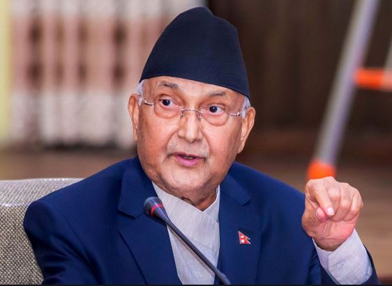
Upping its ante against India, the Nepal government is preparing to send the newly updated map, which includes Kalapani, Lipulekh and Limpiyadhura as its integral part, to the United Nations and Google by mid-august, Nepali media reported on Saturday.
These areas also feature on India’s map.
“Nepal to send new updated map to India, United Nations, Google and international communities by middle of this month,” Padma Aryal, Minister for Land Management, Cooperatives and Poverty Alleviation told ANI.
The ministry, according to the ANI report, has asked the Department of Measurement to print 4,000 copies of the new map in English and send it to the
international community.
international community.
The map, released by Nepal on 20 May, was rejected by India. Ministry of External Affairs spokesperson Anurag Srivastava had said that the “revision is a unilateral act and it is not based on historical facts and evidences”. “Such artificial enlargement of territorial claims will not be accepted by us,” he had added.
“This artificial enlargement of claims is not based on historical fact or evidence and is not tenable. It is also violative of our current understanding to hold talks on outstanding boundary issues,” he said.
The amendment was later also passed by Nepal’s upper house of Parliament.
No Comments For This Post, Be first to write a Comment.
Most viewed from National
Most viewed from World
AIMIM News
Delhi Assembly polls: Owaisi leads Padyatra in Okhla
Feb 01, 2025
We reject this Waqf Amendment Bill: Asaduddin Owaisi
Jan 30, 2025
Latest Urdu News
Most Viewed
May 26, 2020
Which team will win the ICC Men's Champions Trophy 2025 held in Pakistan/Dubai?
Latest Videos View All
Like Us
Home
About Us
Advertise With Us
All Polls
Epaper Archives
Privacy Policy
Contact Us
Download Etemaad App
© 2025 Etemaad Daily News, All Rights Reserved.







.jpg)
.jpg)
.jpg)
.jpg)
.jpg)
.jpg)
.jpg)
.jpg)
.jpg)

