


West Bengal, Odisha likely to receive heavy rains, Cyclone 'Sitrang' to become severe cyclonic storm
Mon 24 Oct 2022, 22:40:34
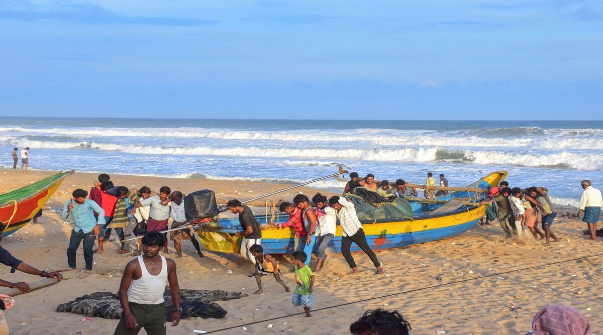
The deep depression over Bay of Bengal intensified into a cyclone on Sunday evening and is very likely to gather further strength becoming a severe cyclonic storm before crossing the Bangladesh coast on October 25 morning, the IMD said.
“Cyclonic storm “SITRANG” near lat 17.00N & long 88.30E, about 520 km south of Sagar Island and 670 km south-southwest of Barisal (Bangladesh). To move north-northeastwards and intensify further into a SCS in next 12 hrs. To cross Bangladesh coast between Tinkona Island & Sandwip,” India Meteorological Department tweeted on Monday morning.
The cyclone, named Sitrang by Thailand, is very likely to intensify into a severe cyclonic
storm on Monday with wind speed reaching 90 to 100 kmph gusting to 110 kmph, the India Meteorological Department (IMD) said.
storm on Monday with wind speed reaching 90 to 100 kmph gusting to 110 kmph, the India Meteorological Department (IMD) said.
It will mainly affect the Sunderbans spread over West Bengal and Bangladesh as tidal waves are likely to reach a height of six metres owing to the twin effect of the weather system and new moon, deputy director-general of the Regional Met Centre in Kolkata Sanjib Bandopadhyay said.
In the wake of cyclone, IMD issued advisory pertaining to suspension of offshore activities at North Bay of Bengal from 24-25th October along with issuing a warning of the possible impact of the storm in North and South 24 Parganas and East Midnapore districts of West Bengal.
No Comments For This Post, Be first to write a Comment.
Most viewed from National


.jpg)
.jpg)


Most viewed from World


.jpg)
.jpg)
.jpg)
.jpg)
.jpg)

.jpg)
.jpg)

Todays Epaper

English Weekly


AIMIM News


Delhi Assembly polls: Owaisi leads Padyatra in Okhla
Feb 01, 2025

We reject this Waqf Amendment Bill: Asaduddin Owaisi
Jan 30, 2025


Latest Urdu News
Most Viewed
May 26, 2020
Which team will win the ICC Men's Champions Trophy 2025 held in Pakistan/Dubai?
Latest Videos View All


Like Us
Home
About Us
Advertise With Us
All Polls
Epaper Archives
Privacy Policy
Contact Us
Download Etemaad App
© 2025 Etemaad Daily News, All Rights Reserved.